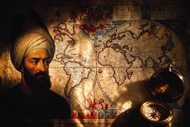
The Ghost of Columbus and the Impossible Geometry of the Piri Reis Map

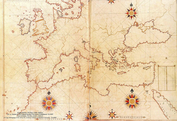
In 1929, while renovating the Topkapi Palace in Istanbul, a theologian discovered a fragment of gazelle skin that would rewrite the history of cartography. This was the Piri Reis map, a world chart compiled in 1513 by the Ottoman admiral and cartographer Piri Reis. While the map is famous for its early depiction of the Americas, a new wave of academic research is peeling back layers of mystery that suggest the map is even more “impossible” than previously thought. Using modern cartometric analysis and digital “mosaicking,” researchers are finding that the underlying geometry of this 16th-century artifact mirrors a level of survey accuracy that defies the technology of the Ottoman era.
The Piri Reis map was not merely a single drawing but a compilation of at least 20 different source maps. Among these, Piri Reis himself claimed to have used eight Ptolemaic maps, four Portuguese charts, and one “lost” map by Christopher Columbus. Because Columbus’s own nautical charts have never been found by modern historians, the Piri Reis fragment is often considered the only surviving “ghost” of Columbus’s original geographic vision. However, the precision of the latitudes and longitudes in the Atlantic sector has led scholars to wonder if the source material was far older than the Age of Discovery.
Mosaics of Accuracy: The Map That Shouldn’t Exist
Source: Ancient Origins – Unravelling the Mysteries of the Past